
Trotwood ZIP Coverage
Trotwood has more than one locally documented postal outcome. The strongest documented label is 45426, but city and county materials also show Trotwood-jurisdiction locations with Dayton postal displays in 45427, 45417, 45416, and 45406. These are evidence-based local labels, not a claimed all-address boundary map. A delivery ZIP and postal city are routing conventions. The same address still needs a city, ward, or parcel check when jurisdiction matters.
| ZIP | Areas covered | Post office | Notes |
|---|---|---|---|
| 45426 | Government Center and library-branch address evidence | Trotwood city display in municipal material | The familiar local label, but not the entire municipality. |
| 45427 | City address-form option and County Madison Lakes evidence | Dayton postal display for the county facility | Geographic Trotwood and postal label can differ. |
| 45417 | Wolf Creek Pike and Townview planning material | Dayton postal display in city documents | Verify each delivery address with USPS. |
| 45416 | Salem Avenue fire-station and planning-document evidence | Dayton postal display | Documented exception, not a boundary claim. |
| 45406 | Salem Avenue planning-notice evidence | Dayton postal display | Documented exception, not a boundary claim. |
The City Public Works street-address application also provides office-assigned choices for 45426, 45427, or Other. It asks for a parcel ID, street, nearest intersection, subdivision, adjacent addresses, owner or applicant details, and a sketch. That form supports address continuity. It does not establish a postal boundary or replace USPS delivery verification.
Trotwood Postal Labels
A Dayton postal city on mail does not settle whether a location is in Trotwood. The documented 45427 example is the County's Madison Lakes facility, which is geographically Trotwood while using a Dayton display. City planning material similarly places Trotwood-jurisdiction Wolf Creek Pike and Townview material under 45417, and Salem Avenue material under 45416 and 45406. Use those examples as reminders to verify, not as shortcuts for assigning every nearby address to a city.
The Census adds a second reason for caution. A ZIP Code Tabulation Area, or ZCTA, is a statistical approximation rather than a USPS delivery or municipal boundary. The 45426 ZCTA had a 2020 population of 14,391, while Trotwood city had a 2020 Census population of 23,070. Neither figure should be relabeled as the other. Postal geography, census geography, and city jurisdiction answer different questions.
Note: A Trotwood mailing label can be useful for routing mail but is not proof of municipal jurisdiction or current residence.
Verify a Trotwood ZIP
USPS ZIP Code Lookup is the final address-level check. It accepts a corporate or residential address with city and state to return the delivery ZIP, and it also provides a city-and-state path for ZIPs. USPS cautions that a displayed result cannot guarantee that an address is a business's actual location. That warning fits the local record trail: use the postal result to format or verify a delivery address, then use property, city, or county records for the underlying record question.
| USPS input path | Best use | Limit |
|---|---|---|
| Address, city, and state | Confirm the delivery ZIP for one exact Trotwood-area address | It does not establish city jurisdiction or a person's connection to the address. |
| City and state | Check postal options before an address is complete | Use the exact-address path before relying on a delivery format. |
The USPS lookup screen is captured below as the official verification channel.
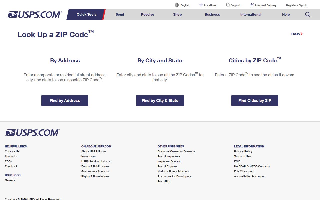
Use the result with the complete street address, then preserve the parcel ID or legal description for the county record search that follows.
Search Trotwood by ZIP
County property research is not documented as a ZIP-wide search. MCRealEstate uses a number and street name, and the Treasurer form has parcel, owner, street number, and street-name paths but no ZIP field. The GIS viewer has address, intersection, coordinate, and spatial-selection tools. That means a careful Trotwood ZIP search narrows an individual delivery address first, then moves to the parcel systems. No verified county screen supports a claim that every parcel or person can be filtered by postal code.
- Verify the exact delivery ZIP with USPS using the full address whenever possible.
- Enter the number and core street name in MCRealEstate. Omit the direction and suffix as the Auditor instructs, then select the matching property result.
- Compare the parcel ID, situs address, ownership information, mailing field, and legal description. Treat the mailing field as correspondence, not proof of occupancy.
- Use the Auditor GIS viewer to locate the confirmed parcel or street and inspect its spatial context. Return to the Auditor or Recorder for record fields.
- Use the Ward Map for city street geography when needed, then make a defined public-record request if a city-held address or permit record is the actual question.
Once a postal area has been narrowed to a named road, the Trotwood street directory has the parcel, deed, and address walkthrough. The sequence stays address-first because that is the locally documented route.
Trotwood Parcel ZIP Limits
Postal research becomes more reliable when four fields remain separate. The situs address is the parcel's physical location. The mailing address is tax correspondence and can be elsewhere. The legal description is the lot, block, subdivision, or metes-and-bounds wording that keeps a property trail connected across deed and plat records. The postal city and ZIP are USPS routing conventions. A Dayton postal label can occur at a location inside Trotwood jurisdiction, so it must not be used as jurisdictional proof.
This distinction also prevents a misleading leap from property records to people. MCRealEstate can show ownership, a mailing address, a current-sale buyer, and a deed reference when linked. Those are record fields. They do not create a complete household list or establish who receives mail at the location now.
Trotwood Ward ZIP Clues
Trotwood's Ward Map provides a street-name lookup and Ward 1 through Ward 4 street lists. It is useful after an exact address has been verified because it adds the city's civic geography. It does not show parcel ownership, voter identity, renters, or a household roster. Use the ward result with the county parcel tools when the question is which public office or map layer applies to a street.
The City Ward Map capture shows the local street-orientation tool.
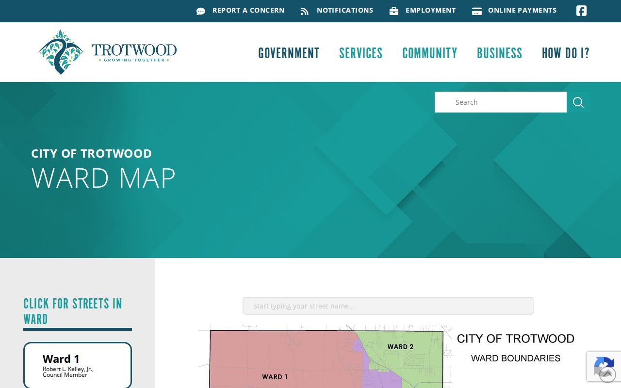
Ward information can clarify municipal street context after a ZIP result, but it does not change the postal boundary or identify residents.
Trotwood Postal Boundaries
No official source found a complete Trotwood-wide postal-boundary layer, a citywide all-ZIP list, a ZIP realignment history, or a ZIP filter in MCRealEstate, the Treasurer system, or county GIS. That gap is important information, not a reason to draw a boundary from a general map. Use USPS for delivery format, city material for municipal context, and the county parcel system for property context. When those sources disagree, save the exact address and ask the relevant custodian which record is being described.
- ZIP and ZIP+4
- A ZIP routes mail to a broad delivery area; the added four digits narrow a delivery segment or address range.
- PO-box ZIP
- A postal code used for post-office boxes, which does not establish the physical location of a person or parcel.
- Unique ZIP
- A postal code used for one organization or high-volume receiver; none was verified as a Trotwood-wide research category.
- Carrier route
- A postal delivery route within an area. It is not a city boundary or an official parcel boundary.
Note: USPS delivery data, Census ZCTAs, and Trotwood jurisdiction should be checked separately when a record requires an exact geographic conclusion.
Trotwood ZIP Record Channels
A postal result does not replace the offices that keep the underlying records. The Montgomery County Auditor's MCRealEstate instructions document an address search by number and core street name, with ownership information, a mailing field, a current-sale buyer, deed reference when linked, and tax information on the result summary. The Treasurer is a separate tax-year route for parcel, owner, or address research. Its form asks users to complete only one search field for the best result. Both systems use address or parcel evidence, not a postal-code filter.
The Auditor is at 451 W. Third Street in Dayton, with listed weekday hours of 8 a.m. to 5 p.m. The Treasurer's listed public hours are 8 a.m. to 4 p.m. at the same street address. For a city-held address assignment, permit, or ward question, Trotwood public-records routing identifies the municipal request channel. The right fallback depends on the record: USPS for delivery format, county property systems for a parcel, and the City for an existing municipal record.
Trotwood Planning Geography
Recent City notices provide a timely reason to avoid treating a postal code as a fixed land-use answer. Trotwood reported a Planning Commission special-meeting process in September 2025, and the City invited public input on zoning-code modernization in April 2026. The modernization notice named subjects including accessory structures, design standards, recreational vehicles, and signs. Address and zoning layers can change during a public planning process, so use the City record or current map for an identified location.
The Planning Commission notice is captured here as a dated local geography source.
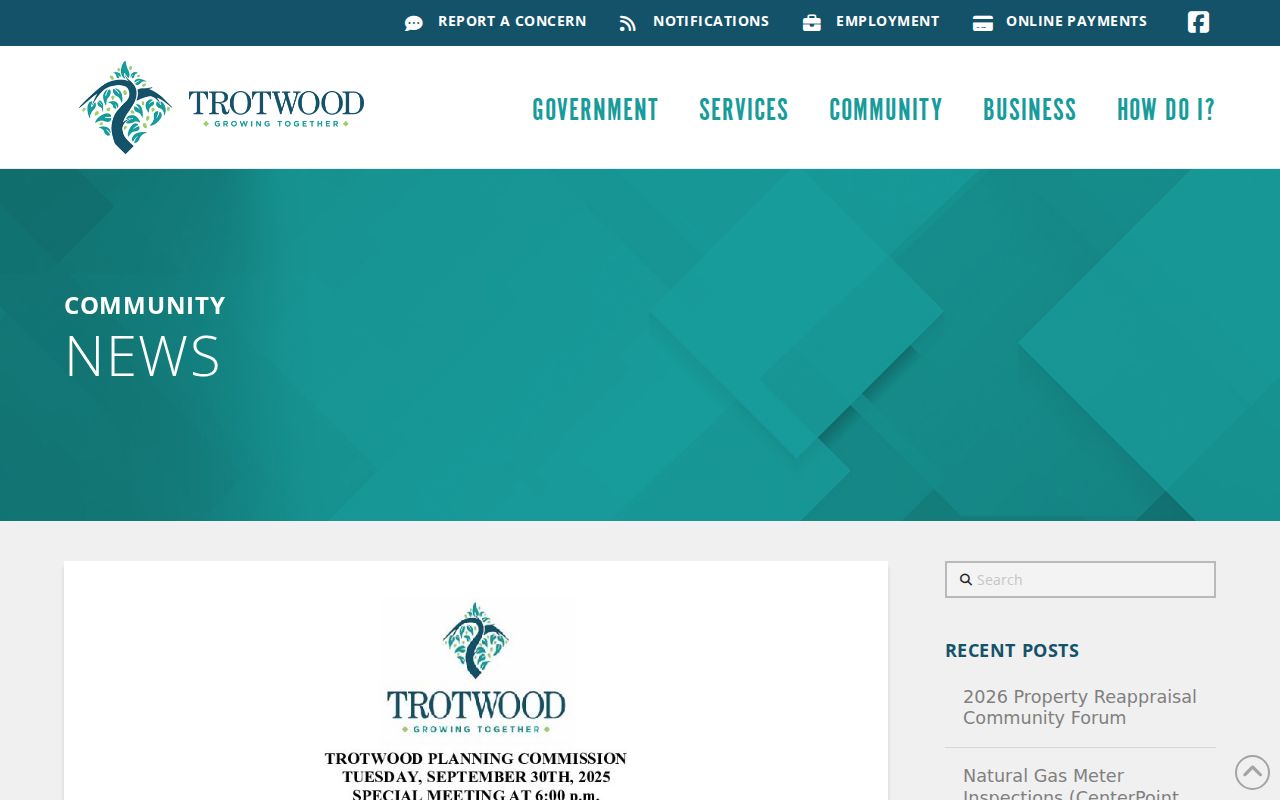
The notice documents a planning process, not a completed change to any property's zoning or postal address.
The zoning modernization survey notice records the City request for public input.
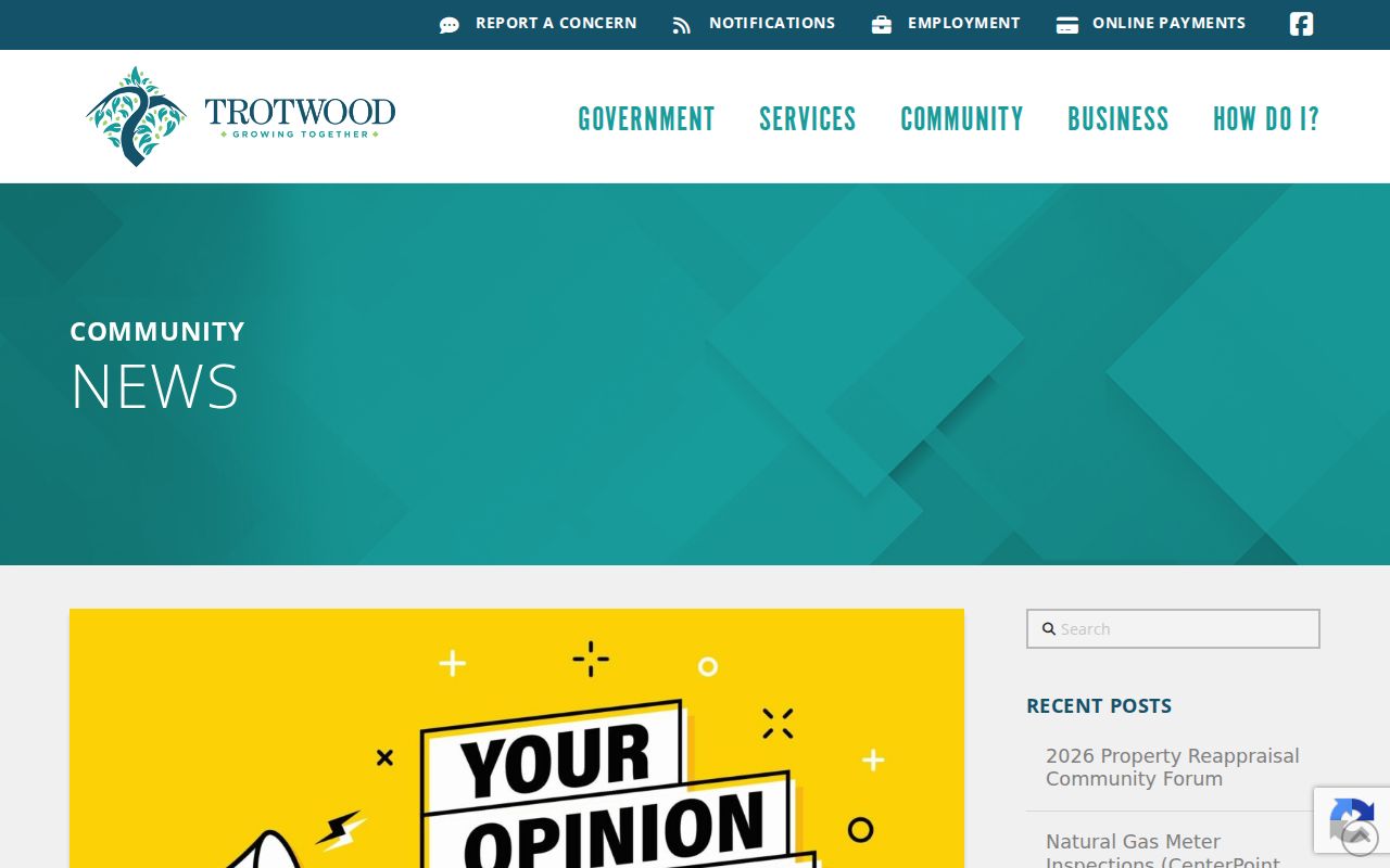
Use the notice as local context, then confirm a specific address through the current City or county channel.
The 2026 property reappraisal forum announcement is another dated City record.
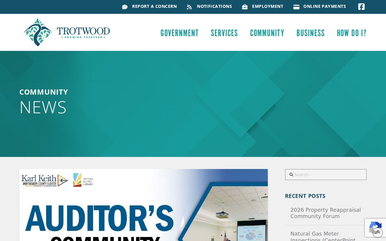
The City announced an August 31 forum at 855 E. Main about 2026 reappraisal, property values, and resources; the announcement is not a completed revaluation result.
Trotwood ZIP Research Fallback
When an exact address will not resolve, retain the postal result, street spelling, parcel ID if known, and any legal description. The Auditor's property system and Treasurer search are the next county checks. The Recorder and its counter route are for the transfer trail, while City Public Works holds the address-assignment context. A clear Ohio Public Records Act request under R.C. 149.43 can ask for an existing city or county record, but it cannot require an office to create a new ZIP-based roster.
The practical rule is simple: a postal code is a starting filter. The supporting record should match the question, whether that is a delivery format, parcel, deed, ward, permit, or municipal boundary.