
Trace Trotwood Street Records
Montgomery County keeps the strongest address trail in several linked systems. MCRealEstate supplies the parcel starting point, the Treasurer supplies a chosen tax-year check, and the Recorder supplies the recorded-document trail. A street result can identify a parcel and a recorded owner role. It cannot establish every current household member. Keep the street or situs address, the owner mailing address, and the legal description in separate notes from the start. That small discipline prevents an address search from turning tax correspondence into a claim about residence.
- Enter the number and core street name in MCRealEstate. Select the matching property result, then save the parcel ID, situs address, owner information, mailing field, legal description, and deed reference when it appears.
- Run the same parcel or address through the Montgomery County GIS viewer. Identify the parcel boundary and use the map only for spatial context, such as the relationship to nearby parcels or a ward.
- Check the Treasurer record for the relevant tax year by parcel, owner, or the same address. Compare the parcel identifier and legal description instead of assuming similar street names identify the same property.
- Follow a deed reference into Recorder material. Record the grantor, grantee, date, instrument or book-and-page reference, and legal description before moving to the prior transfer.
- For an older household question, ask the Dayton Room about a dated city-directory or Haines Criss-Cross item, then compare that dated entry with deeds, maps, and census evidence.
Each step answers a narrower question. The parcel ties an address to land, a deed ties named parties to a transfer, and a dated directory can be a historical address lead. None replaces the others.
Trotwood Street Directory Inputs
The Auditor's MCRealEstate walkthrough gives a useful local rule for a Trotwood street directory search: put the number in the number field and only the core road name in the street-name field. Leave out suffixes and cardinal directions. If the first try fails, the Auditor specifically suggests variants such as 3rd and Third. Click the matching result rather than relying on a text match alone. The summary can show ownership information, the owner mailing address, current-sale buyer, deed reference when linked, and current or delinquent tax amounts.
| MCRealEstate field | Use for a Trotwood address | Format or result |
|---|---|---|
| Number | Start a precise address search | Enter the house number, such as 350 or 1071. |
| Street Name | Match the road's core name | Omit a suffix and direction; test a documented spelling variant if needed. |
| Property Search | Open the documented address route | The walkthrough confirms this mode, but does not document more live fields. |
| Result row or property | Choose the correct parcel | Open the matching address to reach the property summary. |
The Treasurer's tax-search form is a second route when a tax-year comparison is needed. Its form asks for one search criterion at a time and accepts a capital-letter parcel ID, owner name in last-first order, or a street number with core street name.
This captured Treasurer search form shows the tax-year selector and the separate parcel, owner, and address paths.
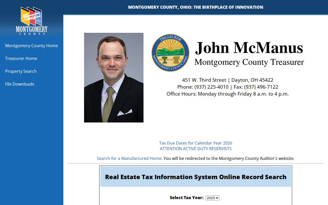
Use one path at a time, then compare the returned parcel ID with the property summary before treating two records as the same parcel.
Note: A tax mailing field is correspondence information and can differ from the physical situs address for the Trotwood parcel.
Map Trotwood Street Parcels
The Montgomery County Auditor GIS page leads to the county parcel viewer. It is the spatial part of the address chain, not a resident list. The research captured address, street, intersection, and coordinate search options, plus point, line, polygon, and buffer selection. It also captured measure tools, print or export choices, and a document viewer with name or alias, plat book and page, document type, and map ID attributes. The County cautions that GIS data may contain errors or inaccuracies, so return to Auditor and Recorder records for source attribution.
Use the sequence address to parcel to identify to map browse. A nearby parcel can be selected or buffered for a map question, but a corner lot, alley, common area, or unplatted tract can make visible adjacency different from postal next door. The map is most useful for checking whether the legal description and the physical parcel tell a consistent story.
The county GIS landing page is shown here before opening the interactive parcel viewer.
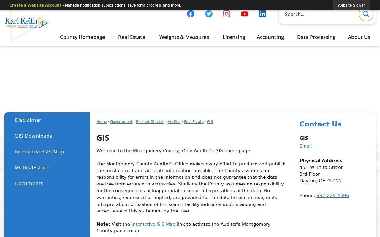
The viewer gives a Trotwood street search a map reference, while the property and Recorder systems supply the recorded fields behind that map.
Trotwood Street Deed Trail
For a recorded transfer, use the parcel's legal description and deed reference as the bridge to the Montgomery County Recorder. The county research guide identifies Recorder deed custody from 1805 to the present. RISS, the Recorder's Information Search System, has a disclaimer and login gateway, and its public landing page did not expose a grantor, grantee, or address form. That limit matters. Do not assume a particular online field or image is available. When an online lead stops, use the Recorder counter or Records Center and Archives with the instrument reference, party name, or legal description already in hand.
The Recorder's RISS gateway displays its access screen and Recorder contact route.
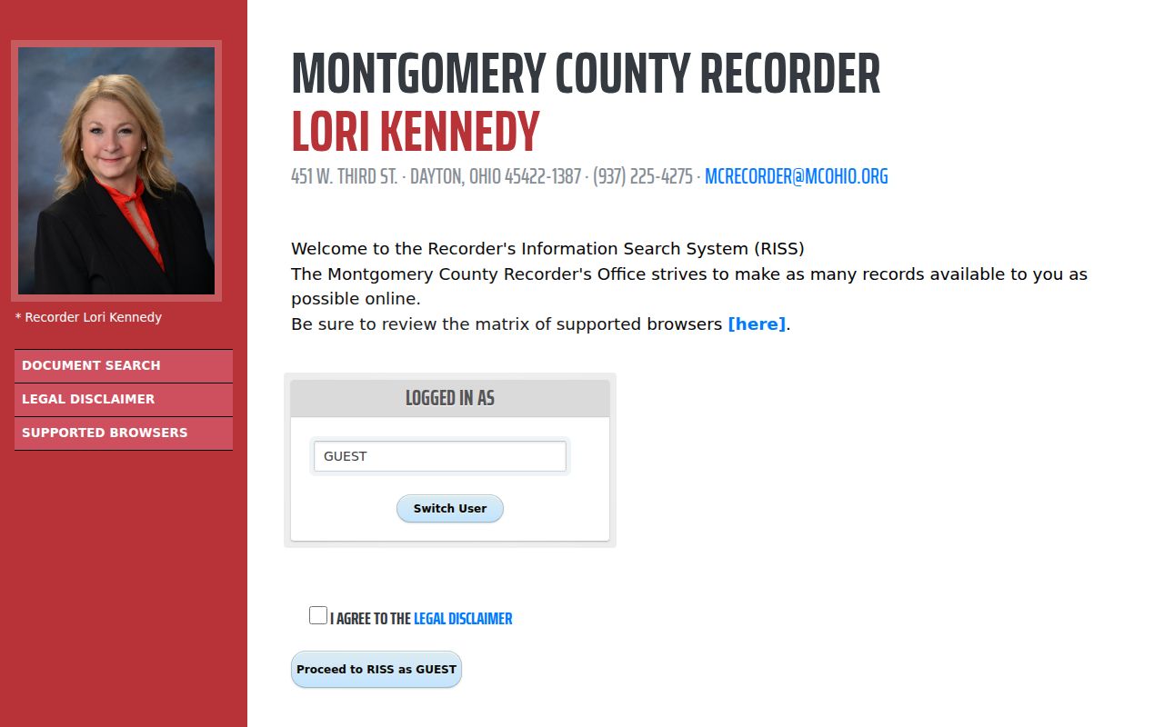
A linked deed can move the search backward through named transfer parties, but a grantor or grantee is a documentary role, not proof of a full household at the street address.
- Parcel
- A county-defined piece of land used to organize property and tax records.
- Situs address
- The physical location of the parcel, which may differ from the owner's mailing field.
- Plat
- A recorded map that can connect a subdivision's lots and blocks to an older legal description.
- Criss-cross directory
- A dated reverse directory that may arrange addresses as an aid to historical research; confirm its year and scope at the library.
Trotwood Street Directory Records
Address-keyed systems do not all answer the same question. The table separates the record relationship from the conclusion it supports. For a present property connection, MCRealEstate and the Treasurer are the first checks. For a transfer history, the Recorder carries the legal-description trail. For physical change or city work, a targeted permit or public-record request may be the better channel. This address-first approach is stronger when it names the record role precisely.
| Address record | Local keeper | What it can show | Access and limit |
|---|---|---|---|
| Property summary | Montgomery County Auditor | Parcel, ownership, mailing field, current-sale buyer, tax summary, and deed reference when linked | MCRealEstate; mailing address is not occupancy evidence. |
| Tax roll | Montgomery County Treasurer | Tax-year record by parcel, owner, or address | Public search; use one field at a time. |
| Recorded deed | Montgomery County Recorder | Grantor, grantee, transfer placement, and legal description | RISS, counter, or archive; deed custody begins in 1805. |
| Parcel map | Auditor GIS | Boundary and nearby-parcel context | Interactive viewer; not an occupancy record. |
| Permit or ROW file | Trotwood departments or County Building Regulations | Work, inspection, applicant, and date trail where disclosed | Use a defined address and date range; applicant is not necessarily an occupant. |
| Historic directory | Dayton Room | Dated address lead when the title and year cover the street | Verify the collection's exact scope before relying on it. |
The city and county channels complement one another. County systems hold property, tax, map, and deed material, while Trotwood's municipal route can hold a city-maintained permit, ROW, or address-assignment record. A request that names the parcel, address, date range, and existing record type is more likely to reach the correct custodian.
Trotwood Address Fields
Three fields often look alike but serve different purposes. The situs is the parcel's physical location. The mailing address is where tax correspondence goes, and it can be elsewhere. The legal description is the lot, block, subdivision, or metes-and-bounds wording that holds a parcel together when a modern street address does not appear on an older deed. Carry all three fields through a research note. That comparison is especially useful when a street name repeats or an old conveyance is organized by tract rather than house number.
The County's old-building guidance directs researchers to grantor, grantee, and tract indexes. A tract index follows legal geography, so it may supply the bridge when an address-only search fails. For a Trotwood street in a subdivision, a plat and lot or block reference can connect the GIS parcel to the Recorder chain more reliably than a loose text search.
Note: Compare the situs, mailing field, and legal description before joining property results from similar Trotwood street names.
Trotwood Street Permit Trail
City and county permit channels can add a physical-change timeline to a street record. Trotwood's ROW material can contain a permit number, work sketch, work description, applicant, inspection scheduling, and fees. County public-record routing identifies Building Regulations for building permits and certificates of occupancy. Neither source establishes who lived at a property. Instead, they can help date work or identify the correct file to request after a parcel and address have been confirmed.
Trotwood's permits and applications page routes users to city departments. Ask for existing final permits, inspections, certificates of occupancy, plans where public, or notices of violation for a defined parcel or address and date range. That is more precise than a broad request for a house history. The City Ward Map also provides street-name lookup and Ward 1 through Ward 4 lists, which can confirm civic geography without making a claim about ownership or household composition.
Trotwood Historic Street Names
Older Trotwood address research has an indexing quirk. Higgins Station developed around the 1852-53 railroads, the post office took the name Trotwood in 1866, the original village plat dates to 1898, and the city later merged with Madison Township in 1996. A pre-1901 person can therefore appear under Higgins Station or Madison Township rather than Trotwood. A parcel outside the former city before the merger can still fall within modern Trotwood. Search each documented place name alongside the legal description or street variant.
The County Records Center and Archives preserves a historical route beyond the online tools. Its guide lists deed, name, tract, tax, election, map, plat, zoning, and aerial-photograph series. That continuity is useful, but no source establishes a precise online-imaging cutoff. Use a counter or archive request for a missing older link instead of guessing that a particular year should be online. The historical directory collections themselves belong on the Trotwood City Directory route, where title and year coverage can be checked before drawing an address conclusion.
Trotwood Street Directory Limits
A street directory cannot supply a complete roster of everyone at each address. A property owner, deed party, tax addressee, permit applicant, and historic directory entry are different record roles. People who are not listed as owners and other household members are not automatically listed by those sources. Ohio also restricts BMV personal information, excludes municipal utility customer names, addresses, and usage from public disclosure, and protects Safe at Home and confidential voter material. Montgomery County's voter lookup is person-specific, while Street Report Generation is documented as a Board tool with unverified current output and fields.
Lawful use. Use Trotwood address records for personal, lawful research and respect protected records. Ohio law does not permit stalking, harassment, intimidation, or attempts to defeat an address-confidentiality program.
For a voter-report question, contact the Montgomery County Board of Elections and ask for an existing published report and its data dictionary, rather than requesting a new household compilation. Protected data remains excluded. The practical result is modest but reliable: use public records to check a defined record fact, then confirm disputed information with the custodian.
Trotwood Street Archive Fallback
When an address does not resolve online, preserve the parcel ID, legal description, likely name variants, and any instrument reference. The Recorder counter and County Records Center are the right fallbacks for older property links. The Dayton Room supplies maps, wills, county histories, city directories, and related local-history materials. Its library map inventory notes Haines Criss-Cross material in the 1950s, but a particular title, year, and street coverage still need confirmation on site.
That fallback chain also avoids a common error: treating the absence of a web hit as the absence of a record. A specified archive or counter request can be much more useful than another broad address search.