
Trotwood Neighbors Block Records
Block records are most useful when each one stays in its lane. The Auditor GIS viewer supplies parcel geometry and a map relationship. MCRealEstate and the Treasurer associate a parcel with recorded ownership, tax data, and a mailing field. The Recorder holds the deed and plat path. The City Ward Map supplies civic street geography, while Neighborhood Watch information supplies public meeting context. None of those sources is a directory of all people living near an address.
| Block source | What it can show around an address | Access route |
|---|---|---|
| Auditor GIS | Adjacent parcel boundaries and spatial relationship | Interactive parcel map |
| MCRealEstate and Treasurer | Parcel owner, tax mailing field, and tax-year context | Auditor and Treasurer |
| Recorder and plat records | Deed transfer and lot or block legal context | Recorder RISS or counter |
| Ward map and address process | Street, ward, and assigned-address context | Trotwood Ward Map |
| Neighborhood Watch | Named group and meeting context | City inventory |
| Voter status | Person-specific registration result when allowed | Board of Elections or a defined report |
A block search can therefore describe parcel adjacency and recorded roles. It cannot turn an owner name or correspondence address into proof that a person is a current neighbor. Treat a property field, voter-status result, or civic-group name as the limited record it is.
Trotwood Neighbor Parcel Start
Begin a Trotwood block search with the focal parcel. The Auditor's property instructions say to enter the street number and core street name in MCRealEstate, omitting the suffix and cardinal direction, then try spelling variants when needed. Select the matching result by its parcel identifier and legal description. The summary can show ownership, an owner mailing field, the most recent sale buyer, tax details, and sometimes a linked deed reference.
The distinction between fields matters. The situs address is the property location. The owner mailing field is tax correspondence data and may be elsewhere. A legal description identifies the parcel through lot, block, subdivision, or other land terms. Keeping all three together prevents a nearby lot, similar street name, or mailing address from being mistaken for the same location.
Note: The Treasurer search permits a chosen tax year and parcel, owner, or number-and-street search, but it does not document a public export of every parcel on one street.
Map Trotwood Parcels by Block
The county GIS viewer is the spatial part of a block lookup. Its inspected live view showed address and intersection search, latitude or longitude input, point, line, and polygon selection, buffer distance, measurement, reports, exports, and a document viewer. Use the map to understand nearby parcels, then return to Auditor or Recorder records for the names and documents associated with each parcel. The County's GIS notice does not warrant completeness or accuracy.
- Locate the focal address or parcel in MCRealEstate, then use that identifier or address in the Auditor GIS viewer.
- Identify the focal parcel and map-browse or select the surrounding parcel polygons. A buffer can help define a small area for map research.
- Open each selected parcel in MCRealEstate or the Treasurer search and preserve its parcel ID, situs, mailing field, and legal description separately.
- Follow a deed reference or Recorder search only when a dated transfer or plat question needs confirmation.
A corner lot, alley, common area, unplatted tract, or subdivision boundary can make visual adjacency different from the address that appears next door. For a whole named street rather than an immediate block, use the Trotwood streets reference and its address-by-address record chain.
Trotwood Neighbor Address Comparison
One local comparison keeps a block search grounded: the property summary's owner mailing field can differ from the parcel's situs address. The Auditor describes its mailing field as correspondence data. A deed lists grantor and grantee roles in a transfer. A tax record is tied to a selected parcel and year. Each is official for its own purpose, but none establishes every current occupant or every person connected to a nearby home.
| Record fact | Reliable statement | Statement to avoid |
|---|---|---|
| Parcel boundary | The parcel touches or lies near the focal parcel on the map. | Everyone on the parcel is a neighbor. |
| Owner or mailing field | The tax or ownership record names that role. | The named person currently lives there. |
| Recorded deed | A named party conveyed or received an interest on a date. | The transfer proves a move or household membership. |
| Neighborhood Watch area | The City lists an active civic area or meeting context. | All local participants are publicly identified. |
This comparison is especially helpful when a result uses a Dayton postal label or an older Madison Township label. Confirm the parcel and municipal context rather than relying on a mailing-place name alone.
Trotwood Neighborhood Watch Areas
The City lists ongoing Neighborhood Watch areas that can help a person find public civic meeting context without treating a group as a resident directory. Listed areas include Shiloh Gardens, Wolf Road/Marlowe Plat, Salem Village, Brentwood Village, Salem Bend Condos, Wingate at Belle Meadows, Willow Wood, Meadowlark, Olde Town, Hillside Plat, Shiloh Villas, Townview, and Woodland Hills. Police liaisons provide crime statistics and the meetings are regular or monthly.
The City Neighborhood Watch page is the public source for those areas and its request process. It does not publish a member or resident contact directory. That boundary keeps the resource useful for a meeting or civic question while protecting private group participation.
The City presentation supports locating a named watch area, not copying individual contacts into a block list.
| City-listed Watch areas | Public use of the listing |
|---|---|
| Shiloh Gardens; Wolf Road/Marlowe Plat; Salem Village; Brentwood Village | Use the City page to identify the listed area and ask about public meeting context. |
| Salem Bend Condos; Wingate at Belle Meadows; Willow Wood; Meadowlark | Use the City contact route instead of assuming a member list exists. |
| Olde Town; Hillside Plat; Shiloh Villas; Townview; Woodland Hills | Use the area name as civic geography, not proof of a parcel's subdivision or a participant's identity. |
Trotwood Voter Record Boundaries
Voter information does not turn a block map into a household list. The Montgomery County voter-status form requires a first and last name. The Board of Elections provides Street Report Generation, but the captured public page did not expose that report's live fields, output, or rules. A defined request for an existing published report, such as a current street report for a named street or precinct and its data dictionary, is more precise than asking the Board to compile people.
Ohio public voter data has statutory exclusions. Full or partial Social Security numbers, driver-license or state-ID numbers, phone numbers, email, confidential voter records, and protected address information are not open under R.C. 3503.13 and R.C. 3503.15. Safe at Home participants have additional protection. Voting-history information records participation, not ballot choices.
Use a county Board contact for a correction or a current report question. A person-specific lookup and a defined public record report have different purposes, so neither should be described as a route to profile every nearby household.
Trotwood Block Record Requests
Some address-related records are not in a public web search. Trotwood's public-records information routes city files through the Clerk of Council or the department that keeps a specialized record. Montgomery County's public-records routing page directs requesters to the responsible county office by record type. For a block question, ask for an existing, identified municipal or county record tied to an address and date range.
The county public-records page is a useful starting point when an online index fails and the correct keeper is unclear.
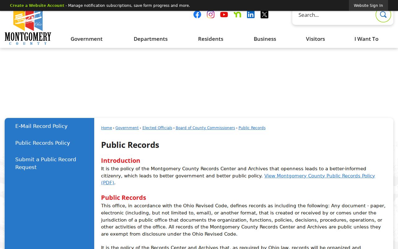
Routing a request to the right office does not change exemptions or require the office to create a new block report.
The Trotwood Police Records Division is a separate channel for a disclosed incident or collision record. It reports redaction and availability limits and offers in-person, phone, and email options. A police request is not a neighbor directory and should be framed around a known report or incident, not people who happen to live nearby.
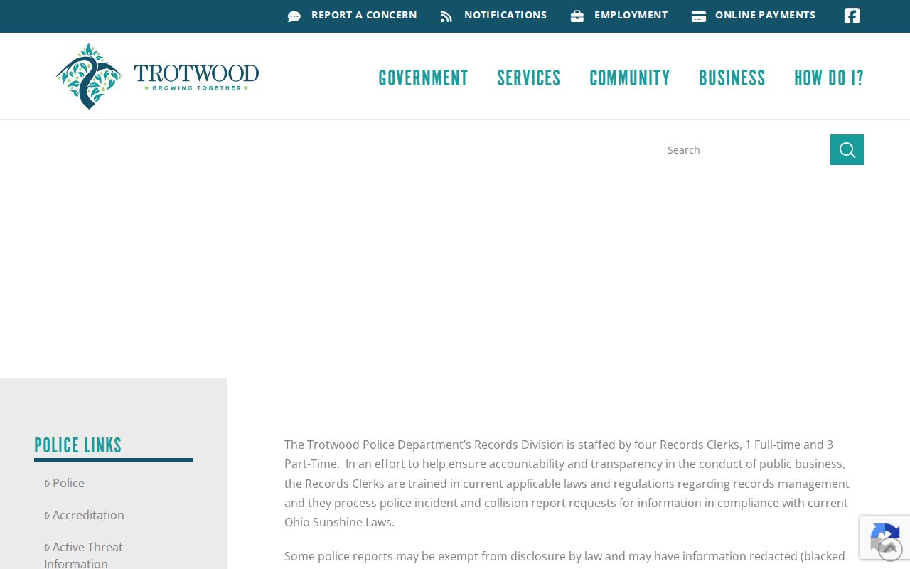
The posted police access information reinforces the difference between requesting a particular public record and identifying private residents.
Trotwood Block Tools Compared
Official record channels and commercial neighbor tools serve different purposes. County sources identify a custodian, the record's date, and the role a field represents. Commercial services commonly combine public and nonpublic data, may be stale or mismatched, and can offer their own correction or opt-out processes. Neither category should be treated as a complete account of a block's private residents.
| Source category | Useful for | Key limit |
|---|---|---|
| Official parcel, tax, and deed records | Dated parcel ownership, legal description, tax, or transfer questions | Recorded ownership and mailing data do not equal occupancy. |
| City civic resources | Public neighborhood names, meetings, and request channels | No member roster or private contact list. |
| Commercial people-directory category | A lead that requires independent checking | Accuracy, source date, and lawful-use limits vary. |
When a field in an official record seems wrong, contact the office that created or keeps it. The Auditor handles property and tax fields, the Recorder handles recorded-document questions, and the Board of Elections handles registration issues. Correction at the source is more reliable than copying an old result.
Trotwood Public Record Scopes
Several public searches cover a narrow subject but do not belong in a neighbor profile. For example, the Montgomery County current-population screen is a jail-status source. It has last-name and first-name fields plus A-to-Z last-name browsing, and its result screen says it is limited to the listed jail's current population with updates every 30 minutes. It is not a court disposition, warrant history, or address search.
The official Montgomery County current-inmate search makes that scope clear.
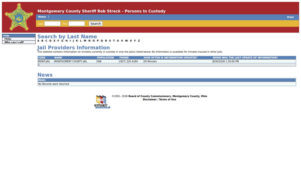
Keeping narrow public tools in their documented scope avoids turning a block lookup into an unsupported claim about a neighbor or an address.
Trotwood Block Lookup Privacy Limits
Private block information remains private. Public parcel facts do not identify renters, household members, utility customers, delivery customers, or every person associated with an address. Ohio limits motor-vehicle personal information under R.C. 4501.27. Municipal utility customer names, addresses, and usage information are excluded from public records by R.C. 149.43(A)(1)(aa). Protected voter material and Safe at Home information are also unavailable through ordinary public-record routes.
Safe at Home is an Ohio Secretary of State program for qualifying people who fear for their safety. It provides a substitute address for covered government records, voter registration, and mail when used by a participant. The correct response to a protected or unavailable record is to leave it protected, not seek another route around the restriction.